
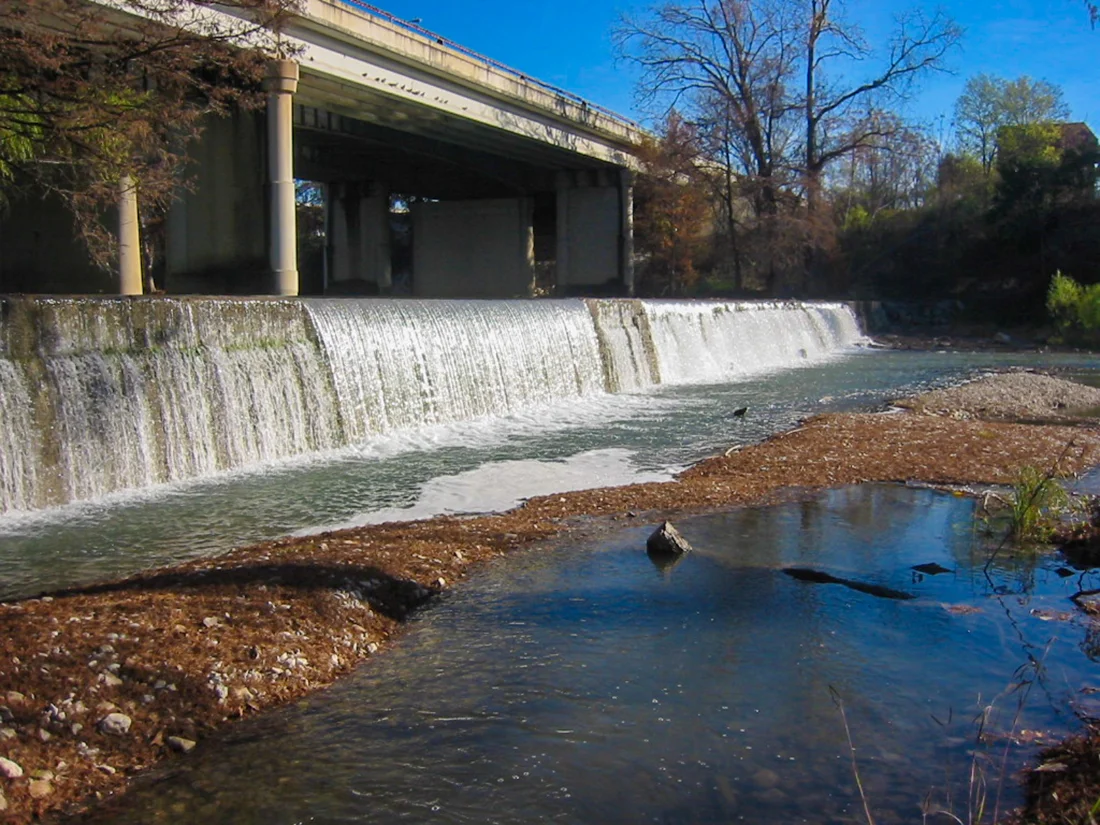
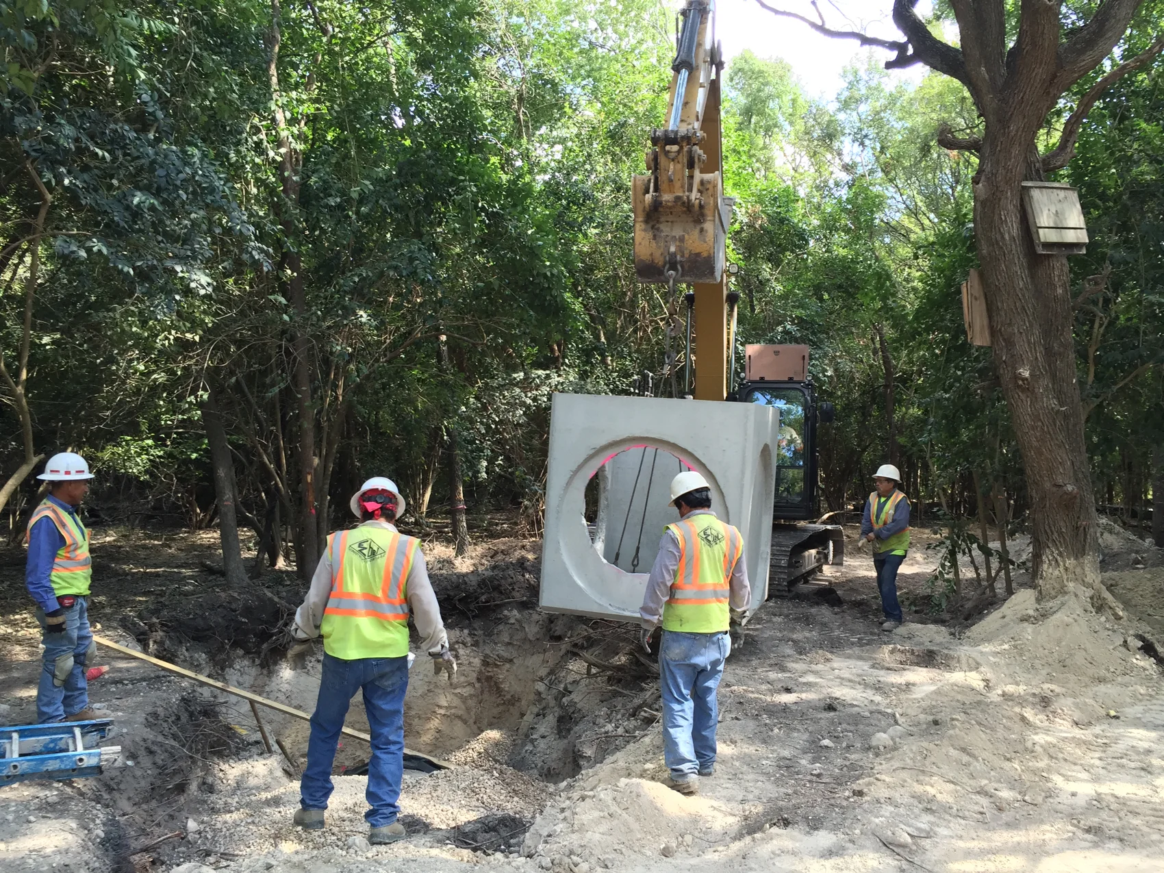
When a dam shows cracking, bulging, depressions, or other visible signs of change, the most important question is not simply what can be seen. It is whether those conditions indicate that the structure is unstable and progressing toward a potential failure.
That was the question facing a dam owner near Corpus Christi, Texas.
The client operates a reservoir that provides emergency storage for a potable water supply system. The dam surrounding that reservoir is an earth embankment approximately 20 feet tall and 1 mile long. The structure’s footprint covers roughly 20 acres.
A simple observation showed cracking in the embankment and some surface movement. The client needed to determine whether the cracks and surface movement were minor surface conditions or if they were indications of significant structural stress or potential failure.
Givler Engineering used drone mapping to collect detailed topographic information of the structure. It then compared the current conditions captured by the drone survey with historical surveys. Fortunately, the comparison showed that the embankment had barely moved over time, and that there were no indications of potential instability.
The result gave the client something more valuable than an aerial view of the dam. It gave them the information they needed to make informed decisions about future maintenance and repair.
Why Use Drone Surveying for a Mile-Long Dam?
Surveying a structure this size entirely from the ground would have been possible, but it would have required considerably more fieldwork time. It would have required a survey crew approximately one week to walk the entire 20 acres of the structure, manually placing a rod or GPS unit at every desired elevation shot. The drones, however, were able to fly the entire structure in a single day.
A ground survey would also have provided fewer data points and less precision in the current condition terrain model. While a ground survey would have resulted in about 1,000 to 2,000 elevation shots, the drone’s LiDAR system was able to capture millions of elevation shots which translated into a much more precise digital terrain model.
Drone surveying gave us a much more efficient way to evaluate the embankment, requiring fewer man-hours and resulting in much higher precision.
Combining Drone LiDAR and Aerial Photogrammetry
For many projects, we use both drone LiDAR mapping and aerial photogrammetry because the two technologies provide different types of information.
Photogrammetry uses overlapping aerial photographs to document site conditions and develop mapping information. The aerial imagery helps us identify visible features such as cracks and wet areas on dam embankments.
LiDAR provides another piece of the picture.
Because many sites are vegetated, LiDAR lets us penetrate the plant canopy to collect ground elevation data beneath. It also reveals features that can be difficult to identify through photographs alone, including depressions and bulges.
Combining both methods allows us to cross-reference what we can see in the aerial imagery with what the elevation data shows. That combination becomes especially important as we evaluate whether visible conditions on a dam represent isolated defects or evidence of larger movement.
Turning Drone Data Into an Engineering-Grade Topographic Survey
Collecting drone data is only the beginning of the process.
Before each flight, we review the airspace, weather condition forecast, flight height, flight speed, and other factors that could affect data collection. Once on site, we establish survey control and place ground control points around the project area for calibration.
For quality control, Givler Engineering also performs a limited ground survey tied to known horizontal and vertical datums. We compare that information to the drone data to verify accuracy and precision. Our datasets follow American Society for Photogrammetry and Remote Sensing (ASPRS) recommendations for producing one-foot topographic contours.
After processing LiDAR and photogrammetry data, we use CAD to generate contours and develop the finished topographic mapping.
For this project, our primary deliverables included historic and current topographic maps, and comparative cross-section overlays of the dam embankment.
Was the Dam Actually Moving?
During our field inspection, we visually identified localized depressions and cracking of the embankment. What we could not determine simply by walking the site was how those conditions related to the overall structural condition of the embankment.
The drone survey gave us that broader perspective, especially because we had historical information to compare with.
We obtained two previous surveys of the dam, one completed in 2002 and another in 2010. We compared cross sections from those surveys against our current topographic data, looking for horizontal shifts, vertical depressions, and other changes that could indicate embankment movement.
That comparison transformed the drone survey from a snapshot of current conditions into a dam monitoring tool.
Instead of asking only, “What does the dam look like today?” we could evaluate a much more important question:
How has it changed?
The Result: Planned Maintenance Instead of Emergency Remediation
Our analysis found that the dam was not moving.
For the client, that provided important peace of mind. The visible conditions did not indicate that emergency remediation was necessary. Instead, we were able to recommend minor repairs and maintenance that could be planned and incorporated into the client’s budget.
The project also established baseline information that will support future dam monitoring.
With the current dataset in place, future drone surveys can be compared against today’s conditions. Over time, those comparisons will help identify and quantify changes that may otherwise be difficult to recognize during a simple field inspection.
For dam owners and other infrastructure managers, precision comparisons facilitated by photogrammetry and LiDAR can be one of the most useful aspects of drone surveying.
Drone Mapping Is More Than an Aerial Photograph
Drone technology makes it possible to collect an enormous amount of geographical information quickly and precisely. But collecting information and understanding it are two different things.
Without engineering interpretation, contour maps, digital elevation models, LiDAR datasets, and orthomosaic photos have limited value.
At Givler Engineering, we use drone-obtained data as part of the engineering process. On this project, that meant combining field observations, drone LiDAR, aerial photogrammetry, topographic mapping, historical surveys, and engineering analysis to determine how a dam was actually changing over time.
Drone mapping may reduce the amount of time engineers need to spend walking a site, but that does not mean sacrificing precision. It can provide a more comprehensive understanding of existing conditions in considerably less time.
If you have a dam, infrastructure site, or other property that could benefit from drone mapping and long-term monitoring, contact Givler Engineering today. We can help you determine whether drone surveying, LiDAR, photogrammetry, or a combination of technologies is right for your project.